https://www.uibk.ac.at/newsroom/zukunft-forschung-jaenner-2020.html.de
https://www.uibk.ac.at/newsroom/zukunft-forschung-jaenner-2020.html.de
https://www.uibk.ac.at/newsroom/die-vermessung-der-welt-per-drohne.html.de
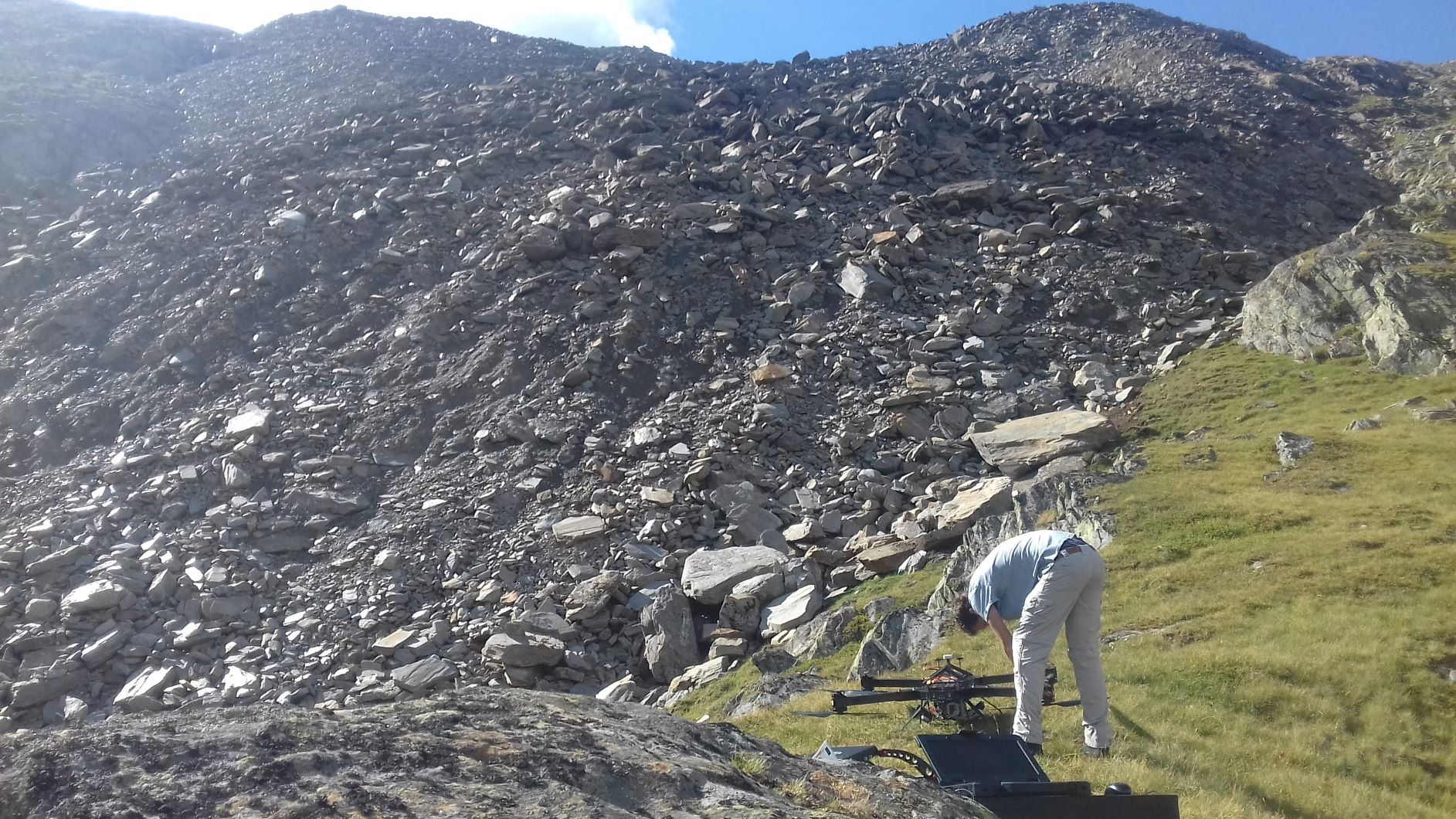
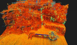
The high resolution surface data from LiDAR UAV gives new insights on patterns and block distributions of rock glaciers.

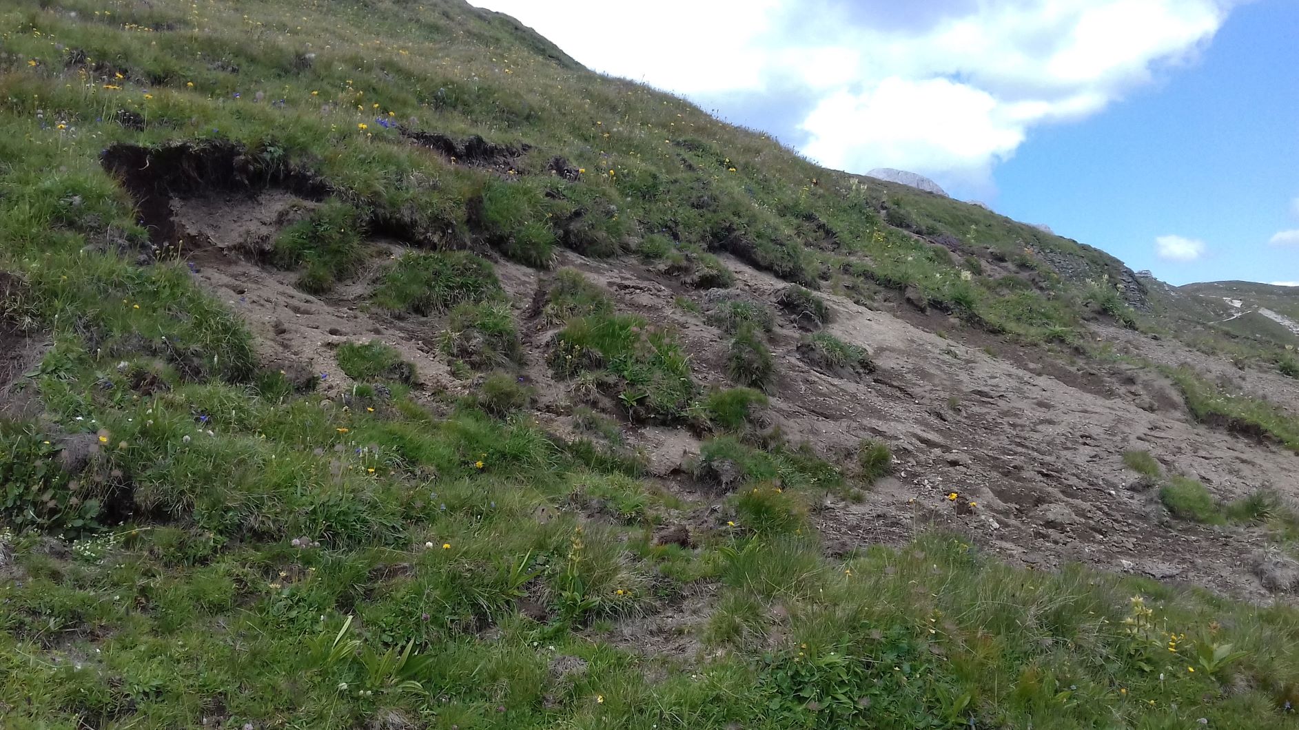
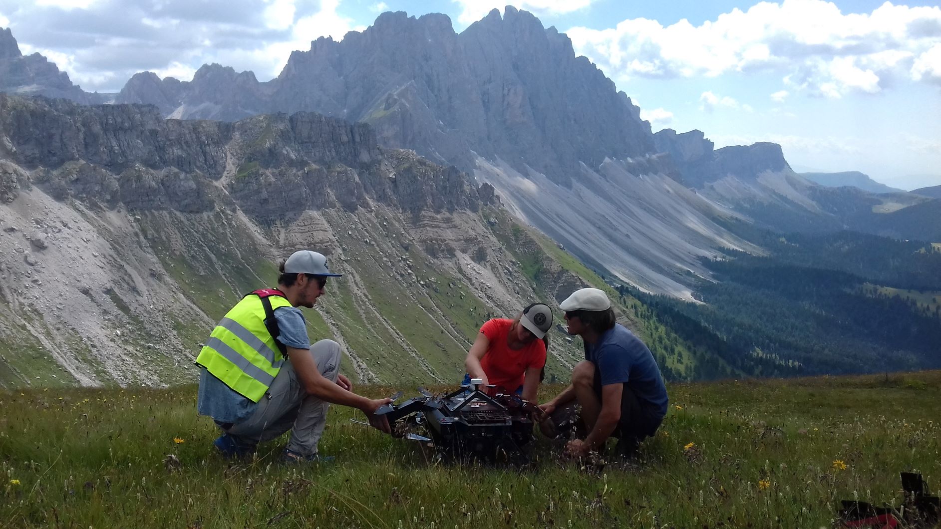
The RiCOPTER System is used for mapping erosion areas for the scientific project ERODYN. The project investigates shallow erosion dynamics in mountain grasslands of South Tyrol by monitoring of erosion processes and mitigation measures with close range and remote sensing techniques.
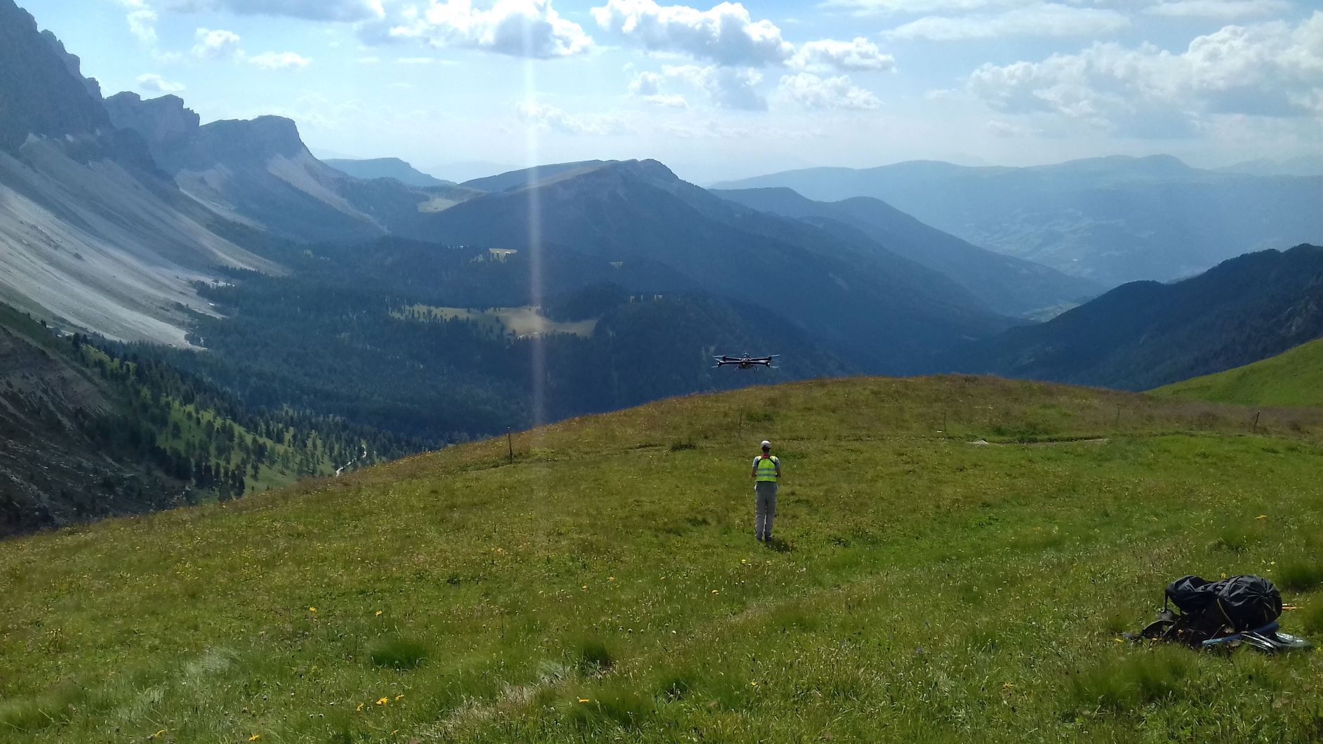
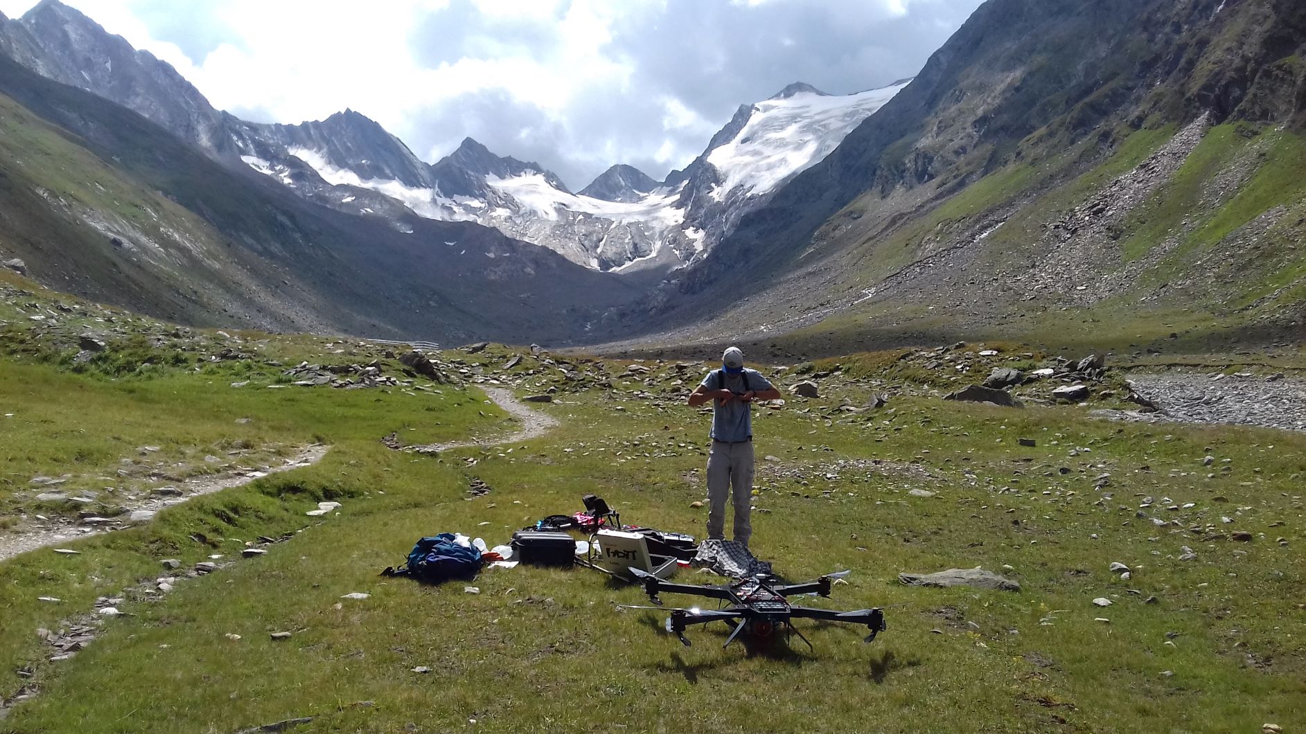
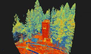
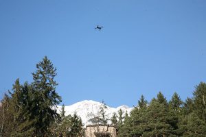
In July 2018 two test flights were conducted in the area of Obergurgl (Ötztal, Austria). The areas of interest were the lowest part of the Hochebenkar rockglacier and the Rotmoos valley.
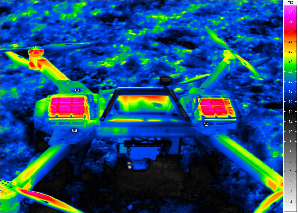
Thermogramm after copter mission. 4D Lidar mountAin Monitoring laB (4D-LAMB) is running.
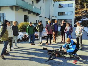
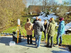
Last week a group of students of the Institute of Geography (University of Innsbruck) tested a mulit-sensor set-up for mapping different environmental phenomena using terrestrial laser scanning (TLS), dense matching from terrestial oblique images, thermography and unmanned laser scanning (ULS).
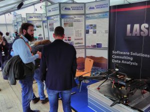
The 4D LiDAR Mountain Monitoring Lab has been presented at the German Congress of Geography in Tübingen (Germany).
